
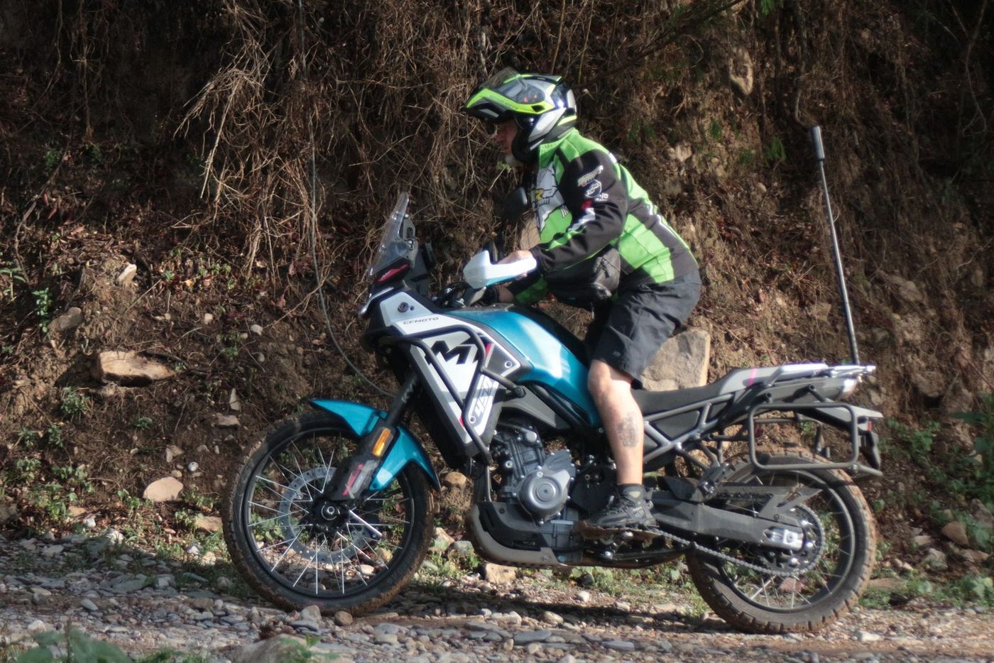
CFMoto 450MT
The lightest one. Built for gravel. A first trip to the northwest, the Puna and dirt roads. We settle on the motorcycle with you in an interview before the trip.
449.5 ccDisplacement
44 hpPower
175 kgWeight
21" / 18"Wheels
Home › Routes › Cachi via Cuesta del Obispo
Curves, altitude and colonial architecture in Cachi.
Where it's worth stopping, and what's at each one.
The cliffside climb that opens the route, up to the Piedra del Molino pass.
The road crosses it end to end, with the Recta del Tin-Tin inside.
An adobe village with stone streets at the foot of the Nevado.
Our pick for this route's terrain and altitude. All three are available.
The lightest one. Built for gravel. A first trip to the northwest, the Puna and dirt roads. We settle on the motorcycle with you in an interview before the trip.