
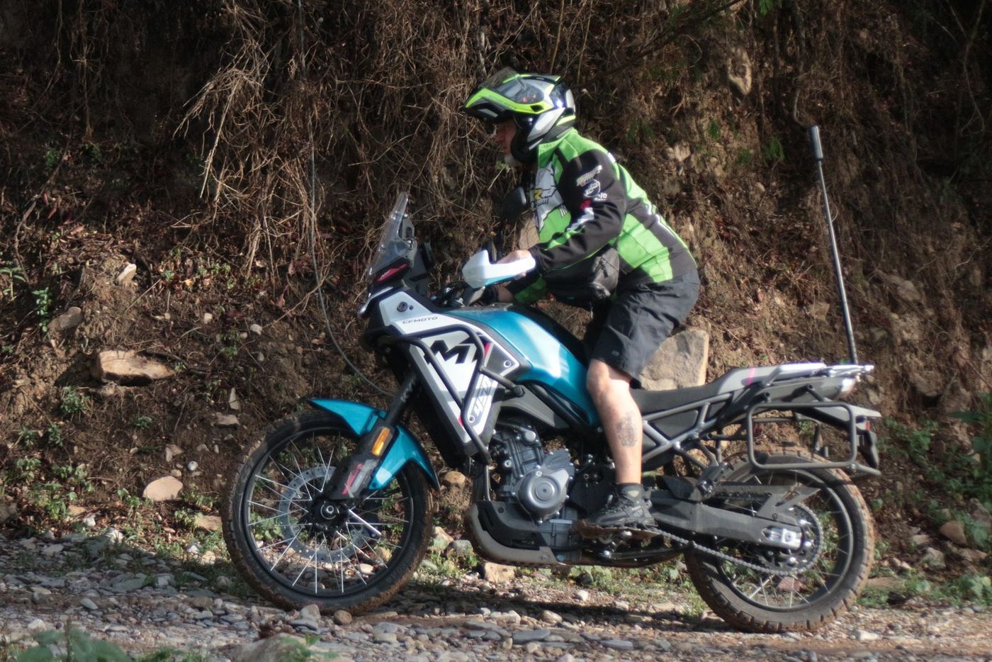
CFMoto 450MT
The lightest one. Built for gravel. A first trip to the northwest, the Puna and dirt roads. We settle on the motorcycle with you in an interview before the trip.
449.5 ccDisplacement
44 hpPower
175 kgWeight
21" / 18"Wheels
Home › Routes › Ruta 40: Cachi to Cafayate
A stretch of Ruta 40 with gravel and adobe villages.
Where it's worth stopping, and what's at each one.
A village of vineyards and adobe between Molinos and the Quebrada de las Flechas, on the same road.
Tilted sandstone walls right on Ruta 40, at 1,951 m. A natural monument.
Adobe villages between Cachi and Angastaco.
The two ends of the stretch, with the gravel of the 40 in between.
Our pick for this route's terrain and altitude. All three are available.
The lightest one. Built for gravel. A first trip to the northwest, the Puna and dirt roads. We settle on the motorcycle with you in an interview before the trip.